We left Yosemite and headed our way to our camping spot in Nevada. We were leaving a lush green valley to drive through the desert. It was a long drive. As soon as we got down from the mountain ranges, everything became flat. We tested the top speed of our car on a long stretch of a straight road. It didn't feel as fast as the speedometer said 😔
Right from the north of California, we entered Nevada. The landscape was harsh, with no reception and almost no cars in front or behind us. There wasn't much to take photos of, except to drive or relax in the car. We only saw a few hills and many army facilities, or at least something that looked like that.
The road took us all the way to the end of Nevada in its western part to the Great Basin National Park next to the town of Ely. We spent two nights there, stargazing, hiking, and visiting a train station and a museum in Ely. In that area, everything seemed slow and unrushed. It felt relaxing for some reason. You could see not a lot of people pass through there, and life slowly unwinds.
Remember how I mentioned rattlesnakes 🐍 back in Texas? Well, now we had a close encounter with them in the Great Basin. We were walking next to our camp when a van passed us. We moved up to the side of the road to let the van pass easily, and then we heard it. The sound of the rattlesnake sets off an alarm in your body you didn't know you had (at least I didn't). I did NOT have any time to think. I just knew I had to get out of the place I was. I guess it is one of those instincts we have embedded in ourselves. We didn't get bit. But we did hike the canyon they call Snake Canyon 😂
Having traveled through the whole of Nevada, it was time to pass almost through the whole of Utah. We were lucky to go through the Loneliest Road in America (U.S. Route 50) on our way there. The scenery is similar. Only at the end of our journey the rocks became more orange, and everything looked like we were on Mars, except we were in west Utah 🏜 and our destination was getting close. I was getting close to the route I took in Colorado because Utah was the neighboring state.
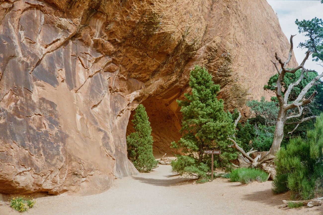
The following location is Arches National Park, right next to Moab in Utah. As we arrived, everything looked great. We didn't even have to get to our camping spot to be in awe. There were folks everywhere, but strangely, most of them had RVs - recreational vehicles. We agreed that the next trip we take should be in an RV. Turns out, those people traveling like that were smart - you have a nice shower inside, a place to cook, sleep, etc. You don't have to set out the tent, make a fire, or look for bathrooms with shower/running water as you do with classic camping.
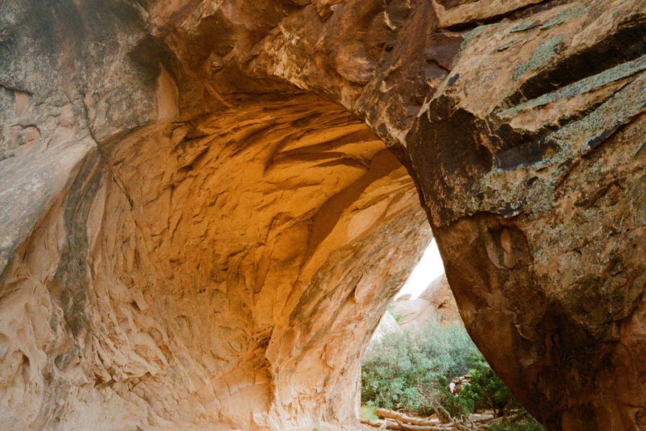
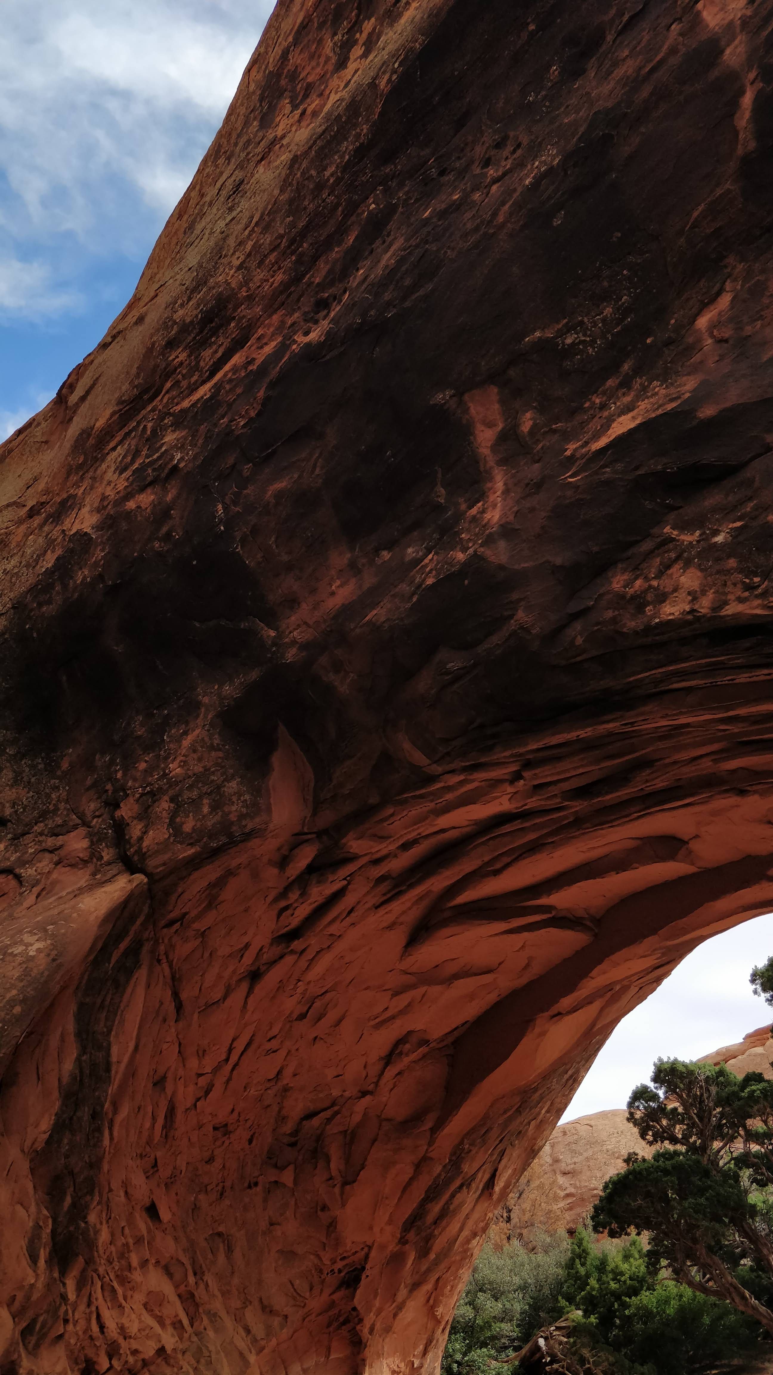
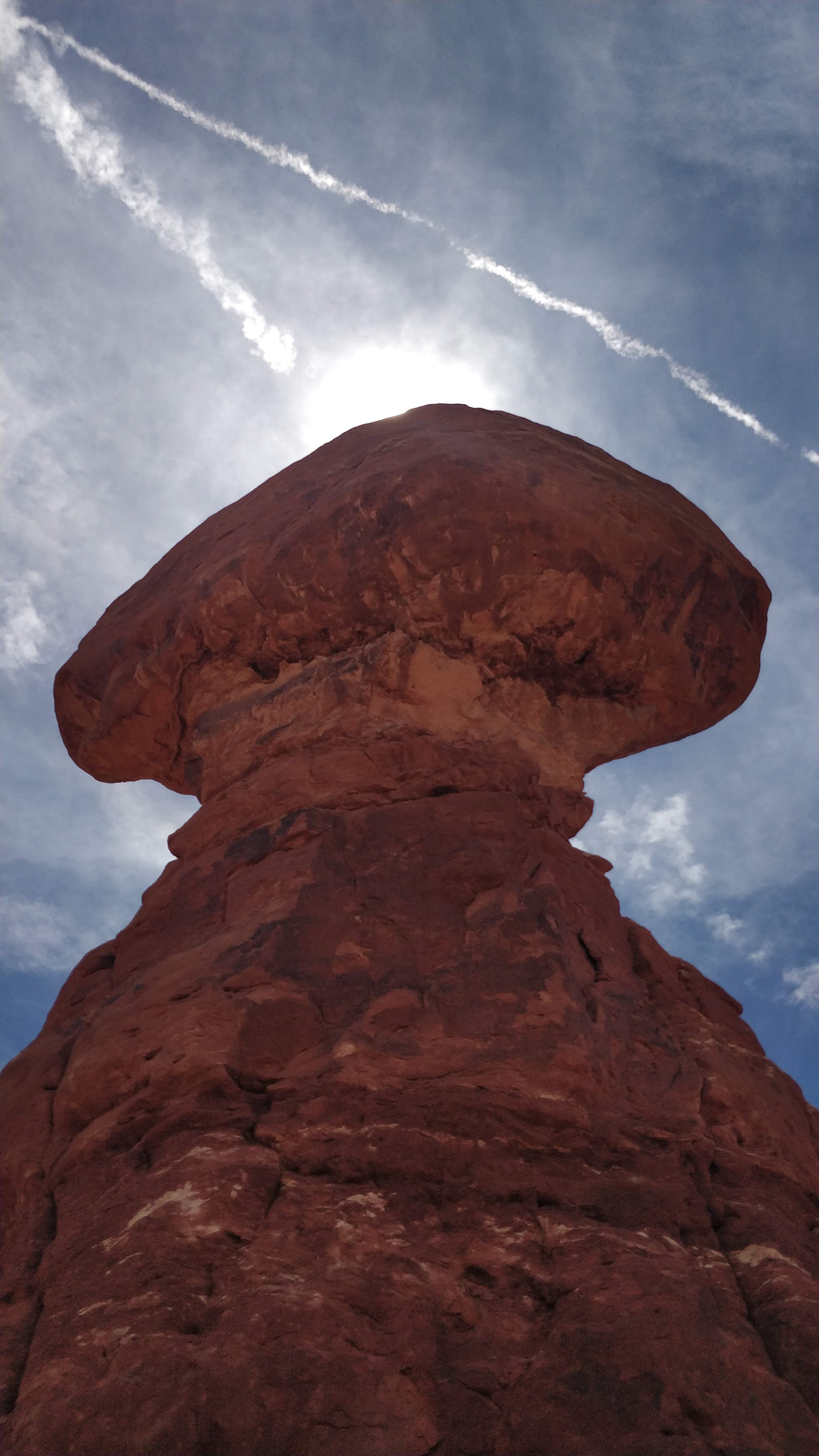
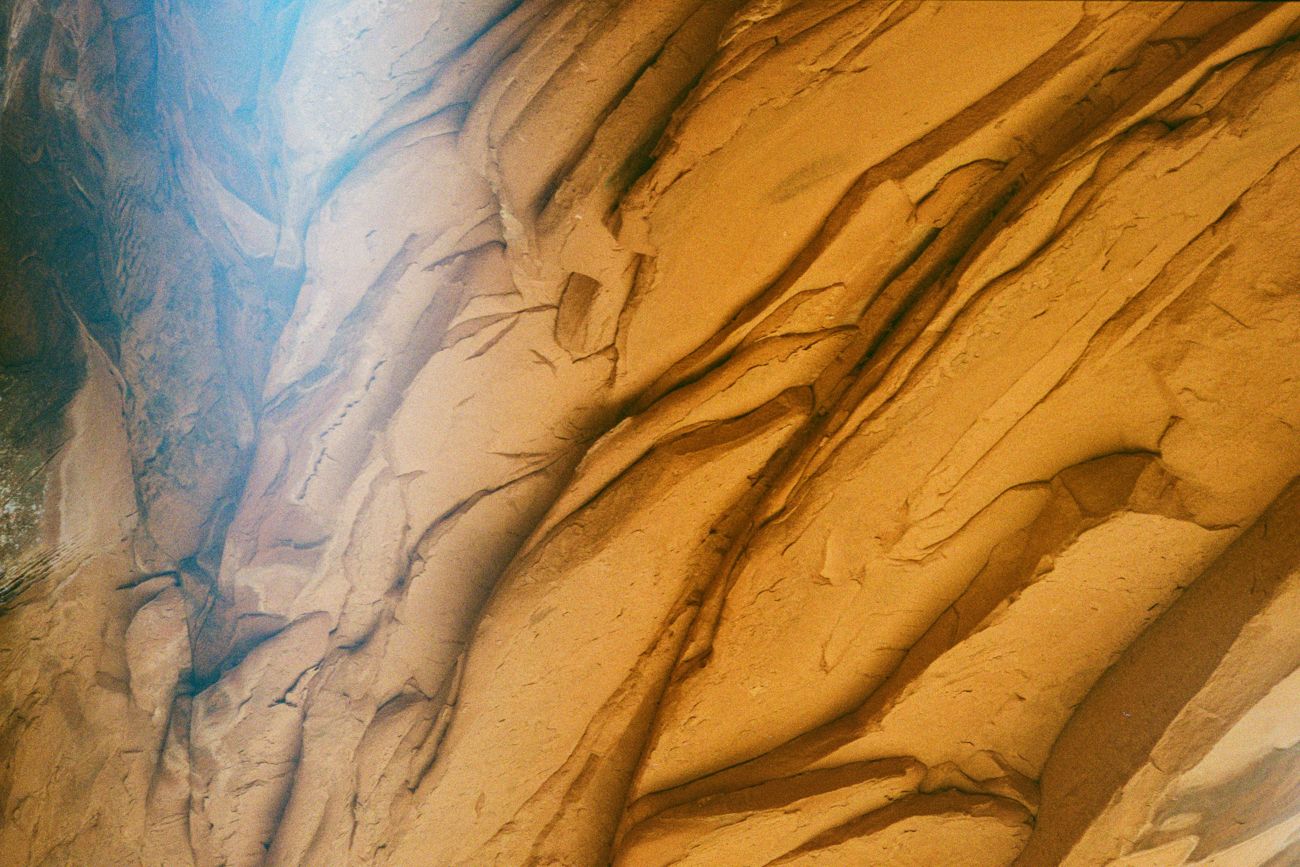
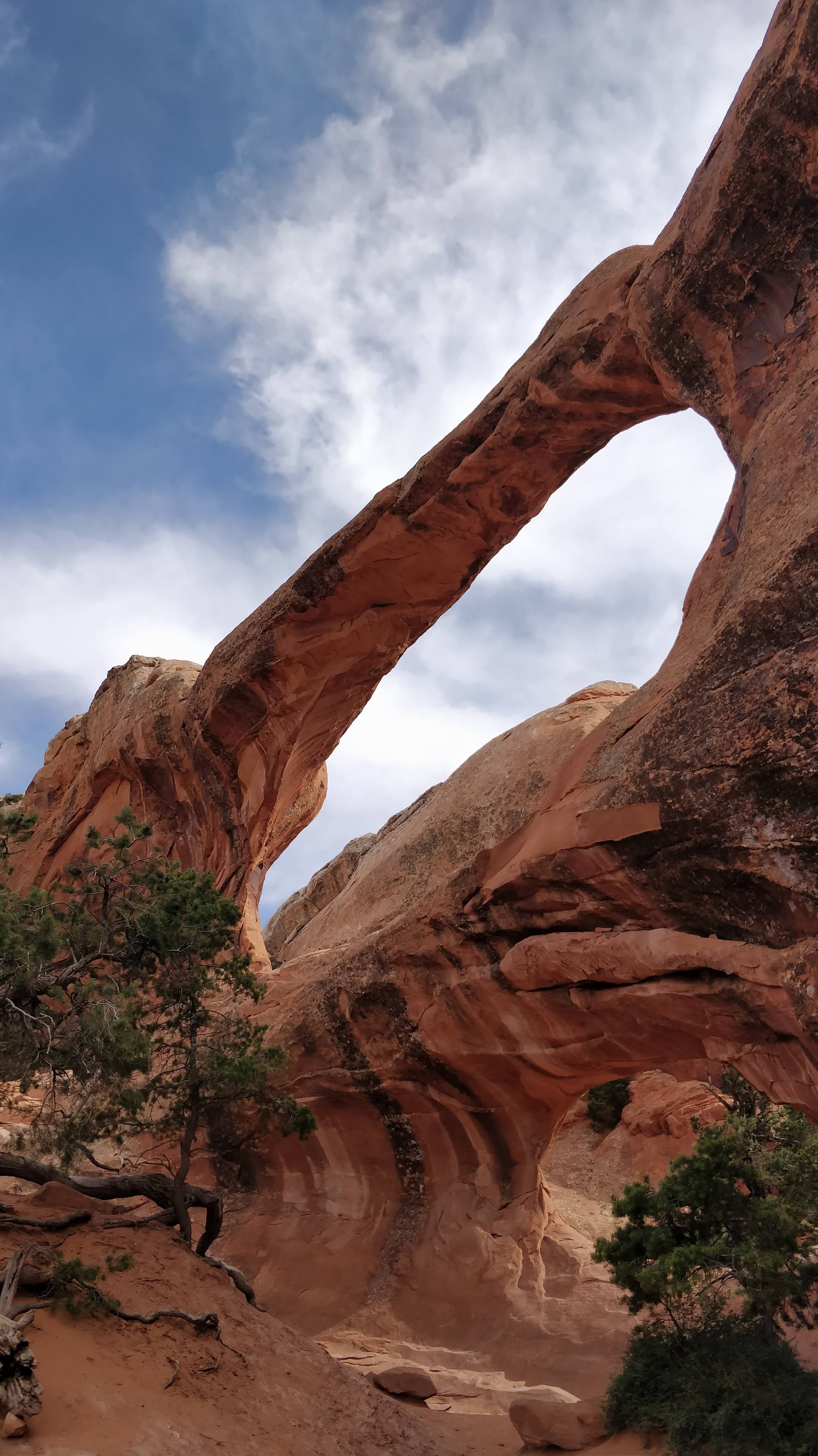
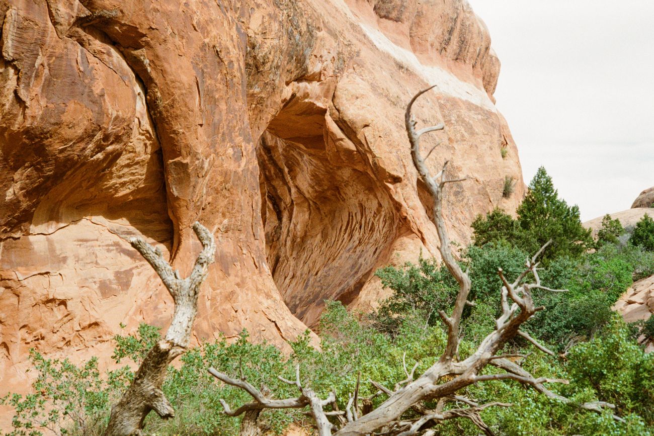
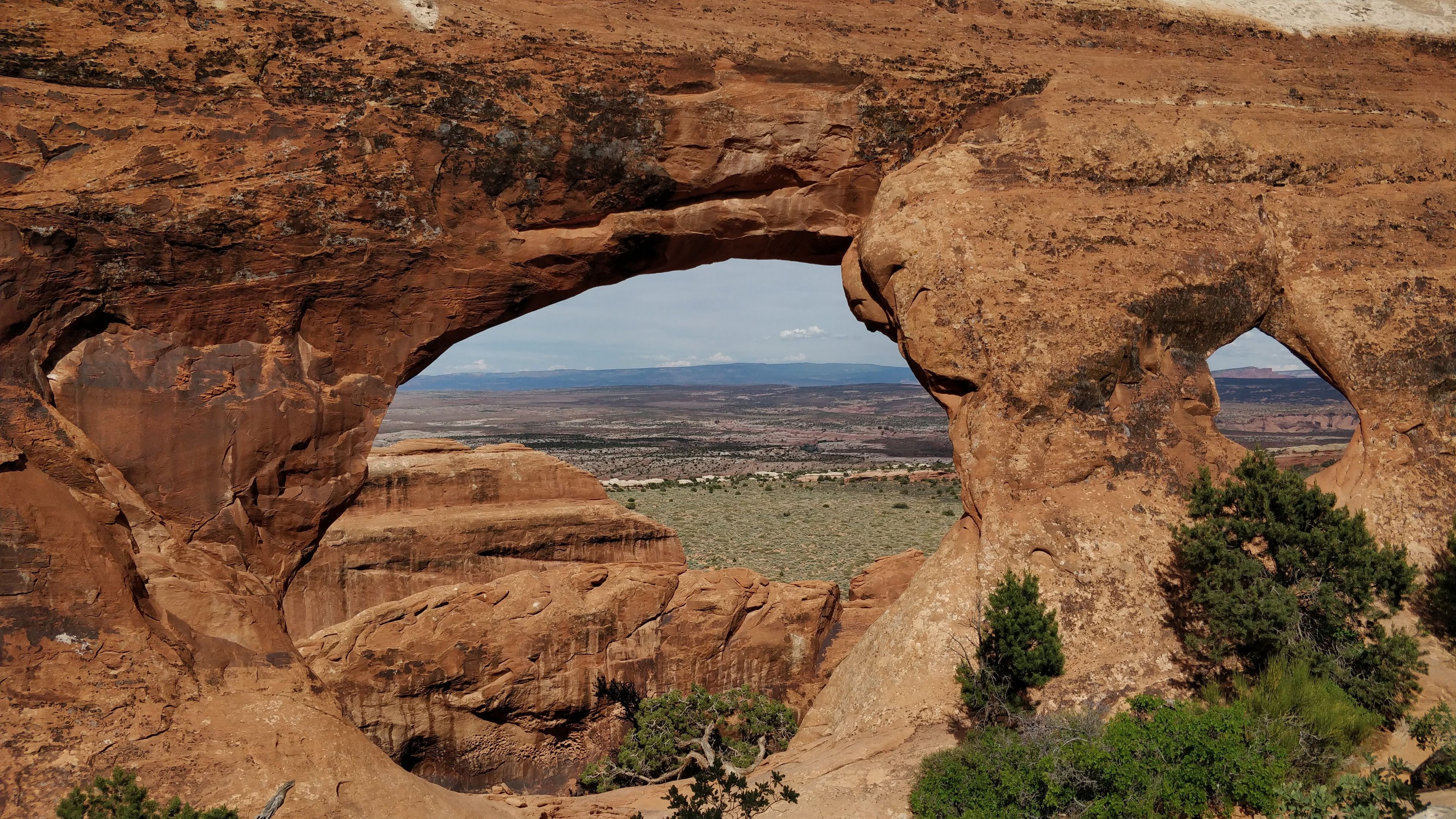
We set camp in the Arches at the Devil's Garden campground. Pretty cool-sounding name, similar to what we have in Serbia - Đavolja varoš. And it turned out to be similar as well. The next day, we started a hike to the Devil's Garden and figured we would stop at some arches along the way. The arches in the park are made out of sandstone that stood the test of time (for now). They are slowly eroding, and one actually collapsed in 2008. In any case, they are delicate structures and are not to be walked on.
As I mentioned before, I have a strong fear of heights. Nothing like when I was a kid, but I had to overcome this fear a couple of times on this trip. Strangely, the fear increases as there are more people around me. For example, when I hiked in the Rocky Mountains in the snow and I looked at the chasms below, I wasn't that afraid. I just kept going. But now, in Arches, I had trouble climbing up a steep stone on the trail we picked. I had to overcome my fear of heights with other people, friends, and hikers. It wasn't easy, but I did it, yay.
It was strange that the trails that are marked as moderate have this height element to them. In a couple of places, you are standing on a ledge, looking down at the orange sandstone that can surely injure you or worse if you fall down. Also, in the Devil's Garden, you can fall in so many spots. Of course, there are warning signs, but in all other parks, they would foolproof these spots.
Another thing is that we almost got lost. As we returned from the trail to the camp, we took a route we didn't do before. It was clearly on the map, and we followed it precisely (I was good at that for some reason). At some point, the trail stops, and there are no indicators on where to go next 😱 Even some hikers we met didn't know where to go. Eventually, we figured out a way, but we were so close to panicking because it was getting dark 😂
To this day, I don't know what route we took, but we ended up on a trail that took us back to camp. We had to descend down a narrow pass of rock at some point. It was about 2m, so you couldn't jump down and had to be careful not to scratch yourself on the rocks. We held each other up through this tricky move, and nobody got hurt. We got to the camp tired, but it was well worth it.
Join me tomorrow as we go to another destination, relatively close to the current one.
